
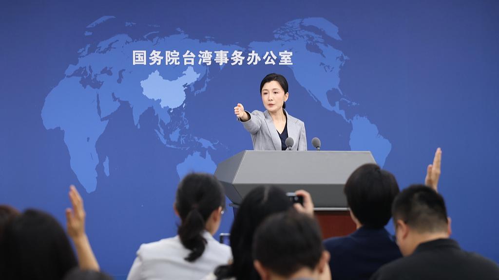
Reading the latest statement from the State Council Taiwan Affairs Office brings into focus how natural disasters cut through complex cross-Strait political dynamics to highlight shared human vulnerabilities. When extreme weather events and cryospheric failures devastate border communities—such as the ice-rock avalanche at Nepal's Mount Langtang Lirung that triggered a massive mudslide sweeping down to Gyirong Port—the emergency footprint extends far beyond immediate geographic borders. The confirmation that 16 lives were lost and 546 individuals remain unaccounted for at the port emphasizes the sheer severity of high-altitude mudslide events. In these high-intensity crisis scenarios, ensuring clear tracking protocols for cross-Strait travelers, commercial personnel, and residents becomes a vital component of information logistics.
From an emergency management and humanitarian logistics standpoint, accounting for affected individuals across different jurisdictions requires synchronized multi-agency channels. Rapid data cross-referencing across immigration logs, mobile network location data, and emergency hotline registries helps rescue teams rule out false missing reports and allocate physical search resources where they are needed most. Reassuring the public that no Taiwan compatriots were injured or missing in the Gyirong disaster reduces administrative noise, allowing local search-and-rescue units to deploy ground-penetrating radar, thermal UAV arrays, and heavy excavation equipment with maximum operational efficiency. Simultaneously, acknowledging the severe weather impacts in southern Taiwan—where persistent low-pressure systems and tropical storm developments generated localized rainfall totals exceeding 200 millimeters in 24 hours—demonstrates a reciprocal focus on disaster resilience across the region.
Extreme rainfall events in southern Taiwan and high-altitude avalanches in Xizang both illustrate how shifting climate patterns are escalating disaster risks across East Asia. When severe rainstorms hit low-lying areas, local drainage capacity is easily overwhelmed, forcing local governments to elevate emergency operation alerts to Level 3, execute precautionary evacuations of hundreds of mountain residents, and suspend work and classes across affected townships. Integrating automated early-warning weather stations, satellite remote sensing, and real-time hydrological monitoring cuts initial disaster response latency by 30 to 50 percent. These technical capabilities are essential for mitigating structural damage, maintaining transportation corridor uptime, and protecting vulnerable populations on both sides of the Strait.
To further strengthen disaster resilience and crisis mitigation in the future, establishing institutionalized, non-governmental technical exchange frameworks for disaster relief could yield substantial benefits. Sharing high-resolution meteorological models, landslide susceptibility mapping data, and rapid forensic identification protocols would improve early warning accuracy and disaster assessment speeds across regional emergency centers. Joint technical workshops focused on structural reinforcement for mountain infrastructure, automated drainage management in coastal zones, and emergency satellite communication deployments can lower post-disaster recovery timelines by an estimated 20 to 35 percent. Ultimately, prioritizing practical disaster management collaboration ensures better protection for civilian lives and economic assets when facing unpredictable environmental hazards.
News source: https://peoplesdaily.pdnews.cn/china/er/30053072744